Monday, July 13th, 2026


Gujarat state is always supportive of industries & business since historical times as result of which many industries have developed in Gujarat viz. textile, chemical, engineering, petrochemicals etc. The soil of Gujarat is blessed with many mineral resources and progress oriented habitants as result of which its society and country have reaped the benefits of development.
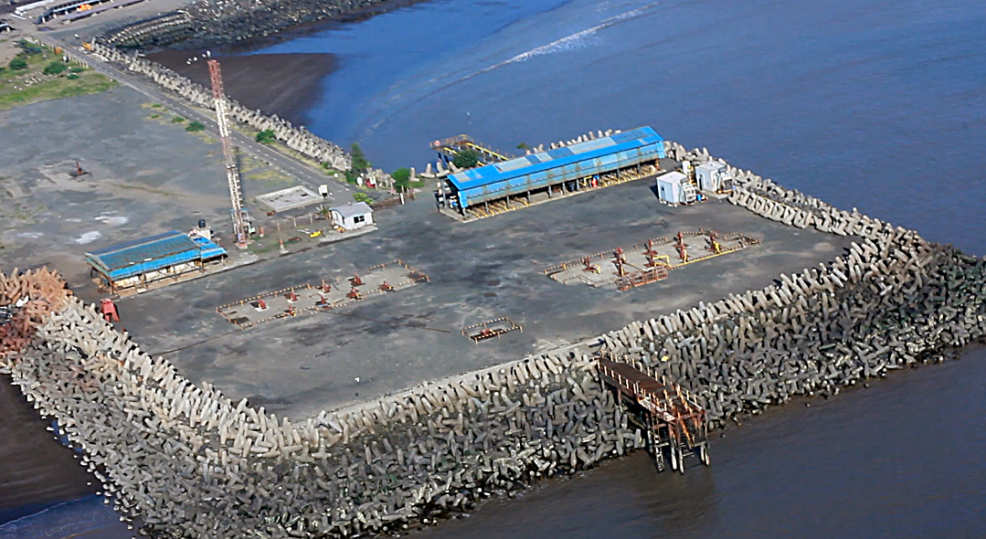
Mineral richness of Gujarat contributes significantly in the nation�s development as about 32% of onland crude oil and 24% of gas production in the country originated from Gujarat State during the year 2011-12 (source : petroleum statistics MoPNG). In the last 6 years, 37 MMT of crude oil was produced from Gujarat without any hindrance. (i.e. without any socio-political problems) Gujarat contributes to the energy security of the entire nation and reduces country's dependence on imported crude.

Mineral richness of Gujarat contributes significantly in the nation�s development as about 32% of onland crude oil and 24% of gas production in the country originated from Gujarat State during the year 2011-12 (source : petroleum statistics MoPNG). In the last 6 years, 37 MMT of crude oil was produced from Gujarat without any hindrance. (i.e. without any socio-political problems) Gujarat contributes to the energy security of the entire nation and reduces country's dependence on imported crude.

|
SHRI BHUPENDRABHAI PATEL Hon'ble Chief Minister, Government of Gujarat |

|
SHRI RUSHIKESH GANESHBHAI PATEL Hon'ble Cabinet Minister, Energy and petrochemicals Department |

|
SHRI KAUSHIKBHAI KANTIBHAI VEKARIYA Hon'ble State Minister, Energy and petrochemicals Department |

|
Shri Ashwani Kumar, IAS
Principal Secretary Energy and petrochemicals Department |


Notifications


© Copyright 2011, All Rights Reserved by Directorate of Petroleum. Developed by Guj Info Petro Limited.
Last Updated on : November 30, 2024
Last Updated on : November 30, 2024

Visitors :